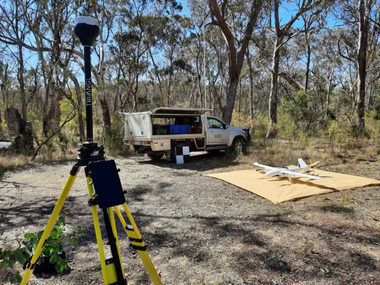
The AirGeoX high accuracy and high resolution lidar and photogrammetry system, solves many problems currently experienced by surveyors.
By flying the drone at a low flight height (120m or lower), errors propagated by the accuracy of the IMU are greatly reduced compared to manned plane LiDAR data.
The drone plane acquires much larger areas (10km2 per day) than a multirotor drone survey, reducing the cost, while maintaining a very high point density of 300 points per square metre in most areas.
You don’t need to ferry from a sealed runway, due to the drones vertical take off and landing capability. AirGeoX can fly the survey anywhere in Australia.
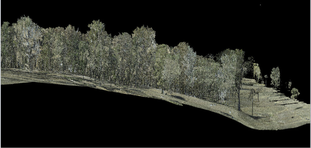
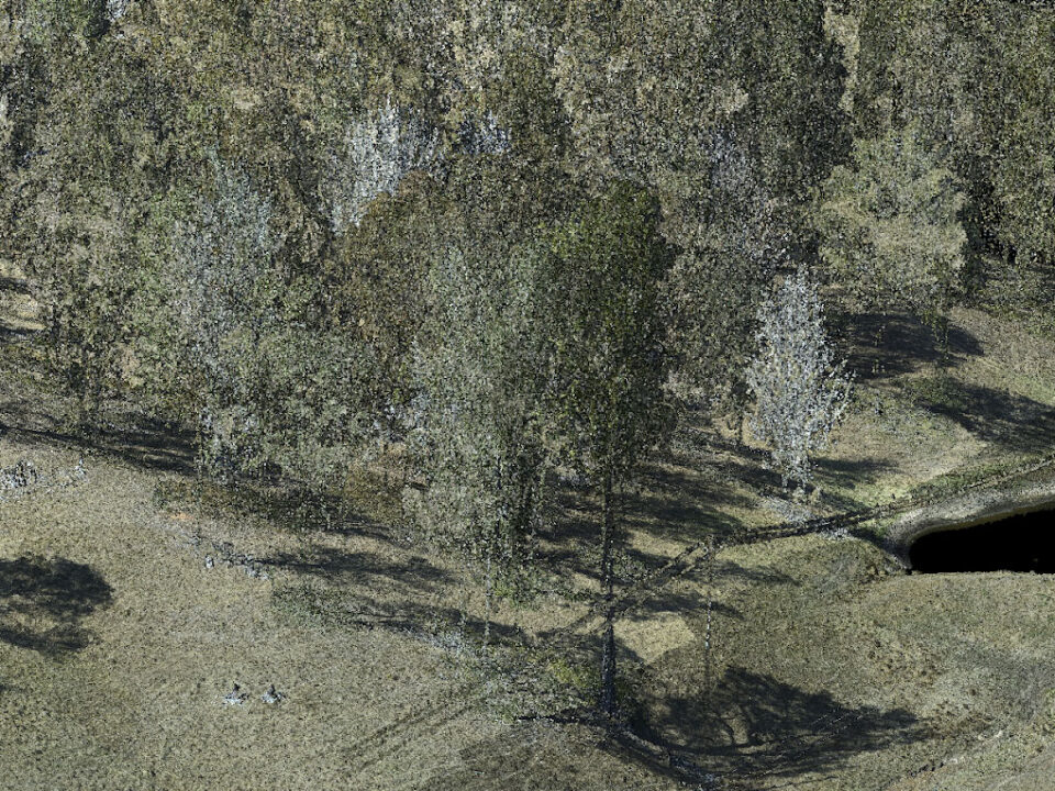
For mapping historical mine workings and geological outcrop under vegetation a high point cloud density is needed.
For mapping historical mine workings and geological outcrop under vegetation a high point cloud density is needed.
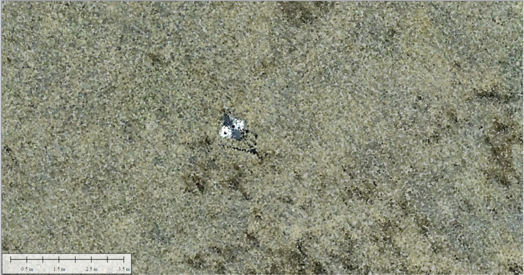
This example illustrates AirGeoX’s LiDAR point count over a 55Ha area with 450,000,000 points. The images are RGB colourised LiDAR returns. Bare earth under thickly vegetated trees is visible with high precision right up to the tree trunk with no gaps.