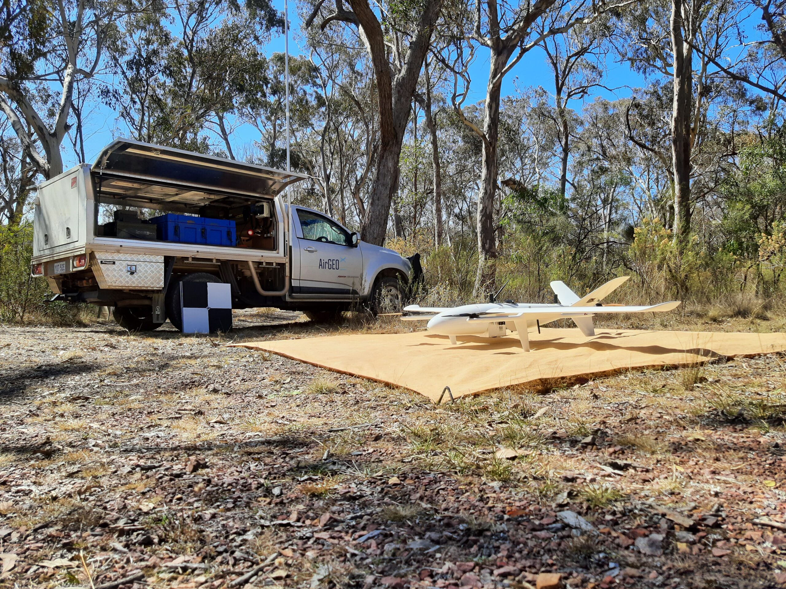
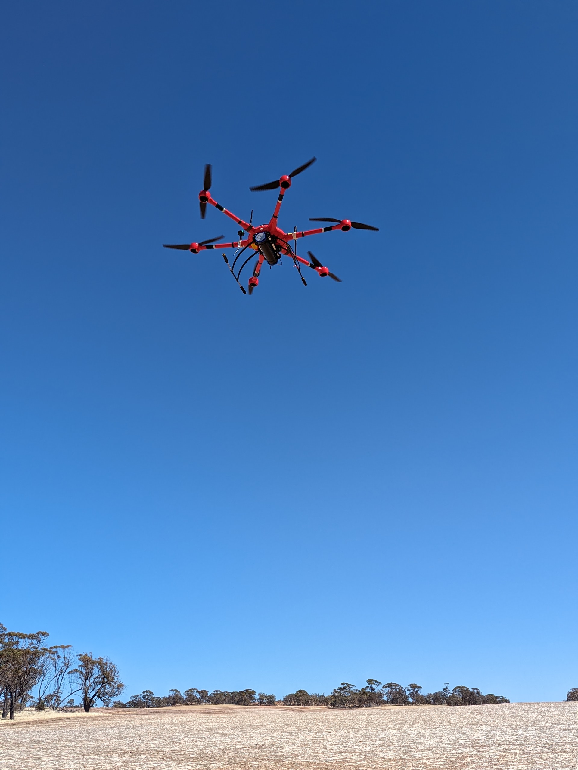
AirGeoX select and modify drones to meet the needs of geophysical surveys. For the highest positional accuracy, AirGeoX drones are equipped with two dual band RTK GPS, triple redundant IMU and an autopilot that recalculates 200 times per second how to counteract wind.
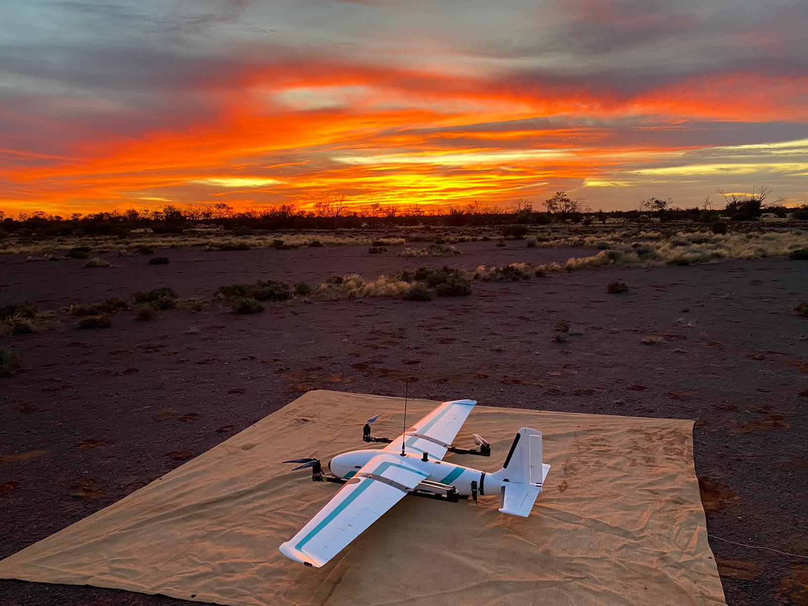
AirGeoX have flown over 100,000 kilometres by equipping drones with long range communications and enabling large, long endurance drones. Surveys of tens of thousands of kilometres are now possible.